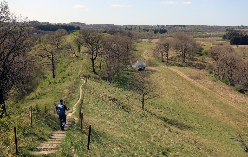
VANDRERUTE Sorøsøerne rundt (22 km)
Ved Sorø ligger tre søer tæt ved hinanden, og på 22 km rundtur kan du vandre rundt om både Sørø Sø, Pedersborg Sø og Tuelsø
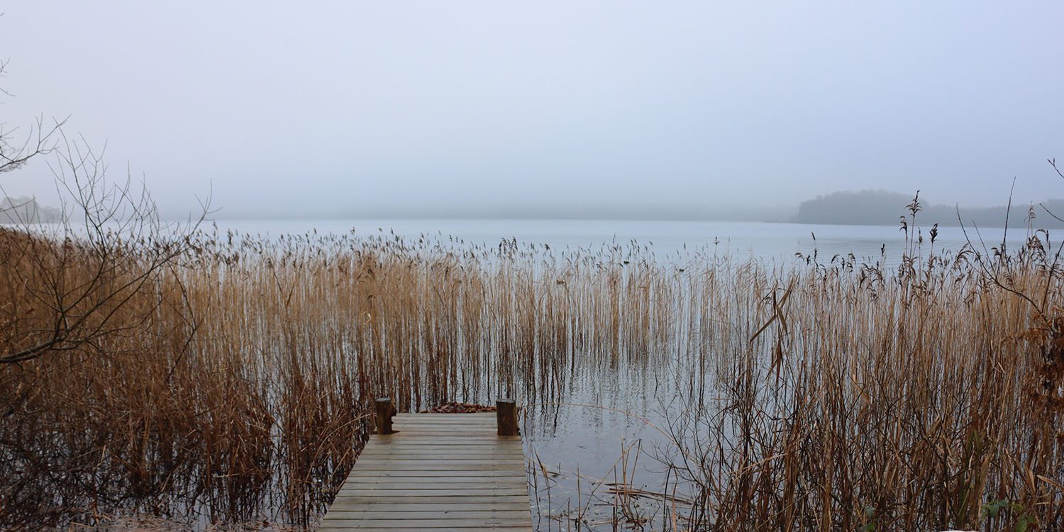
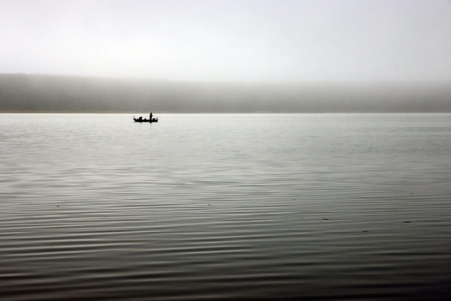
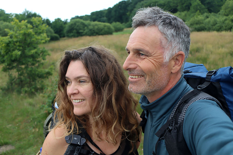
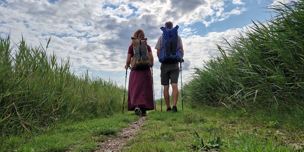
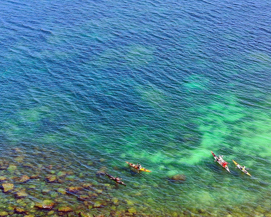
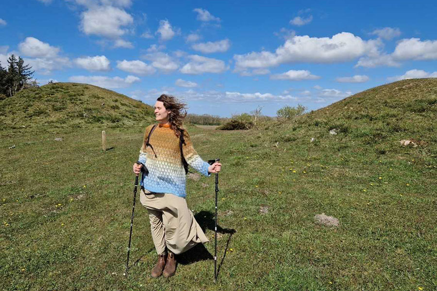
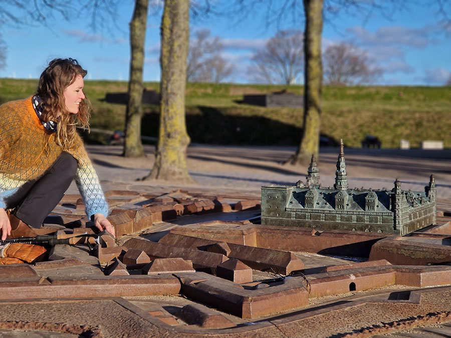
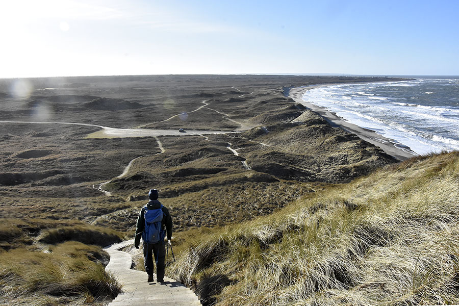
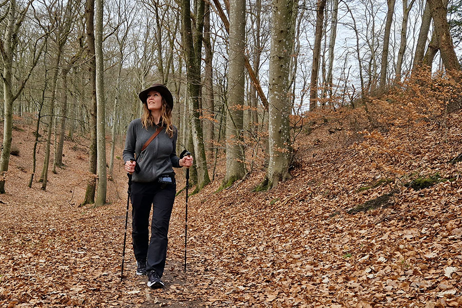
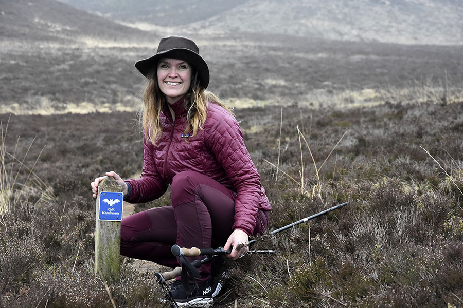
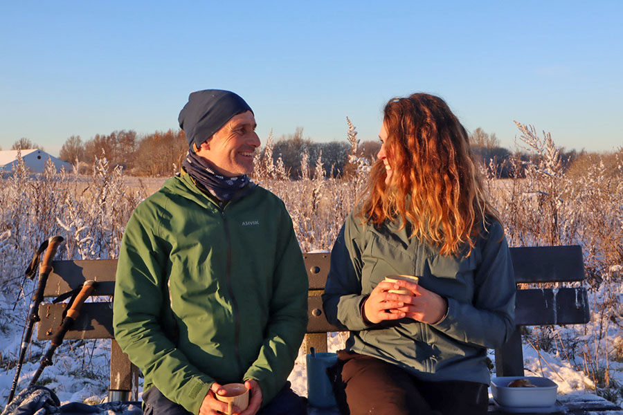
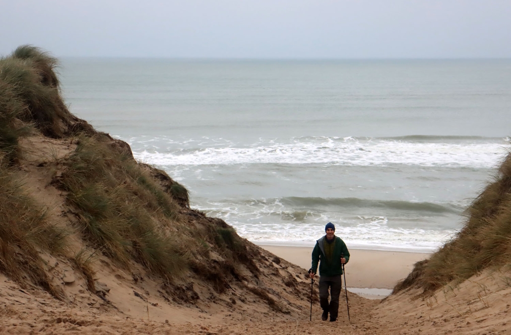
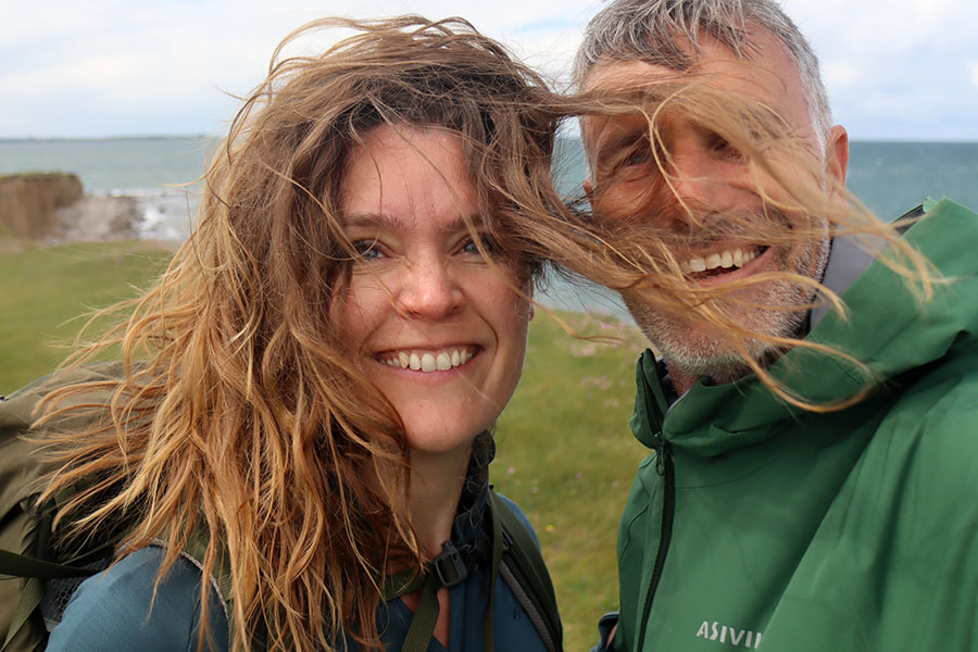
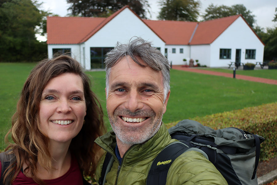
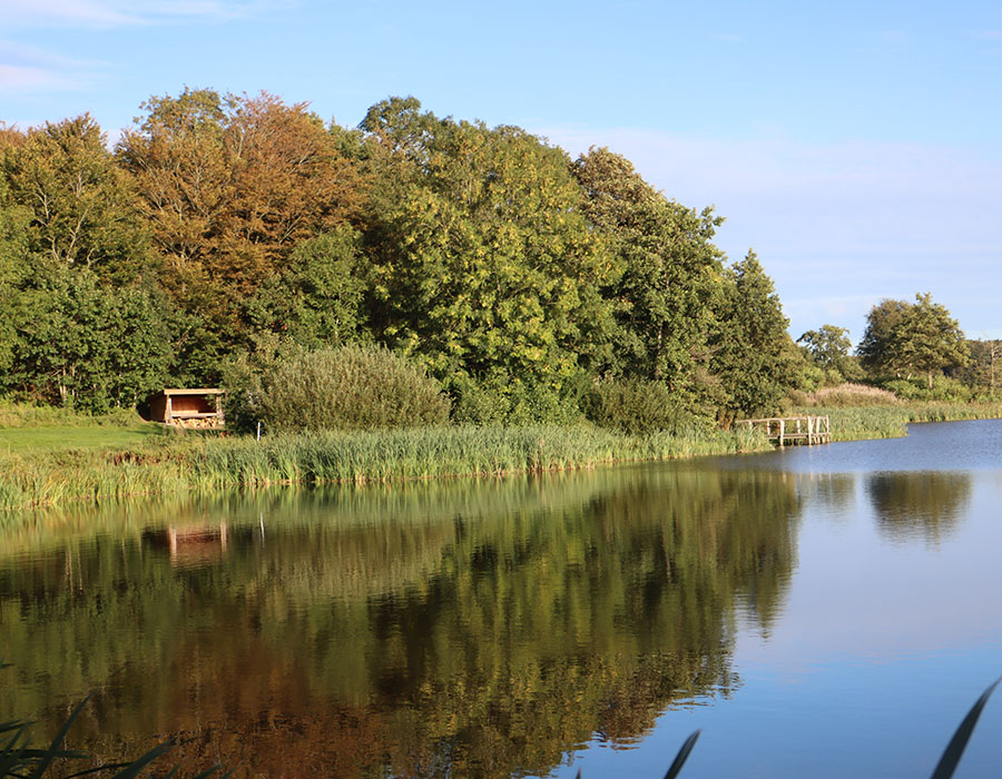
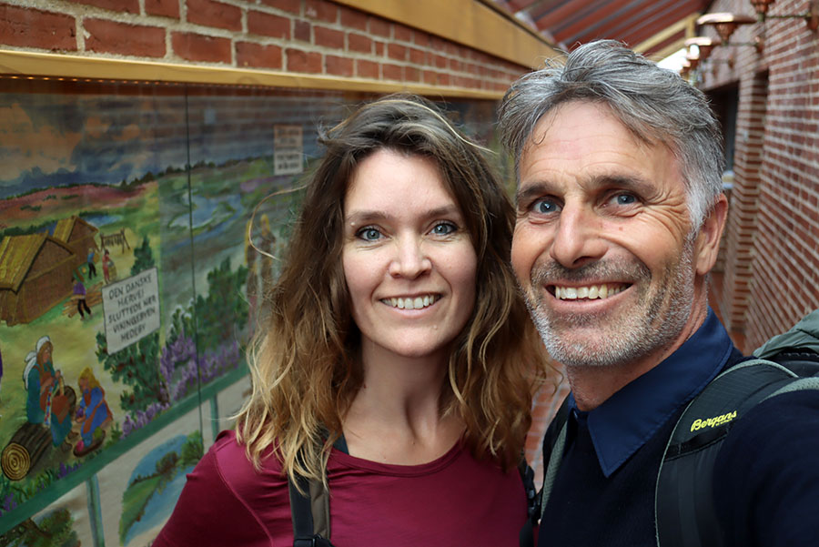
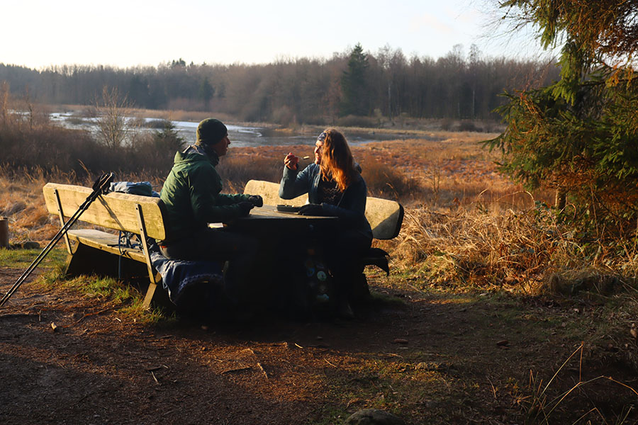
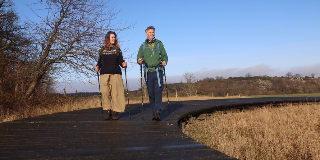
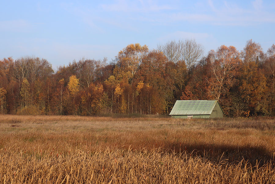
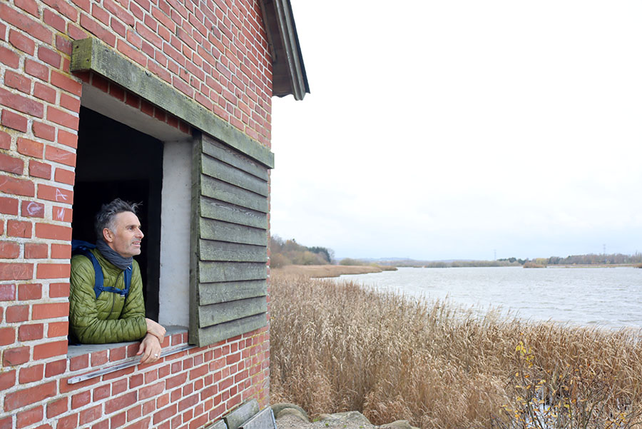
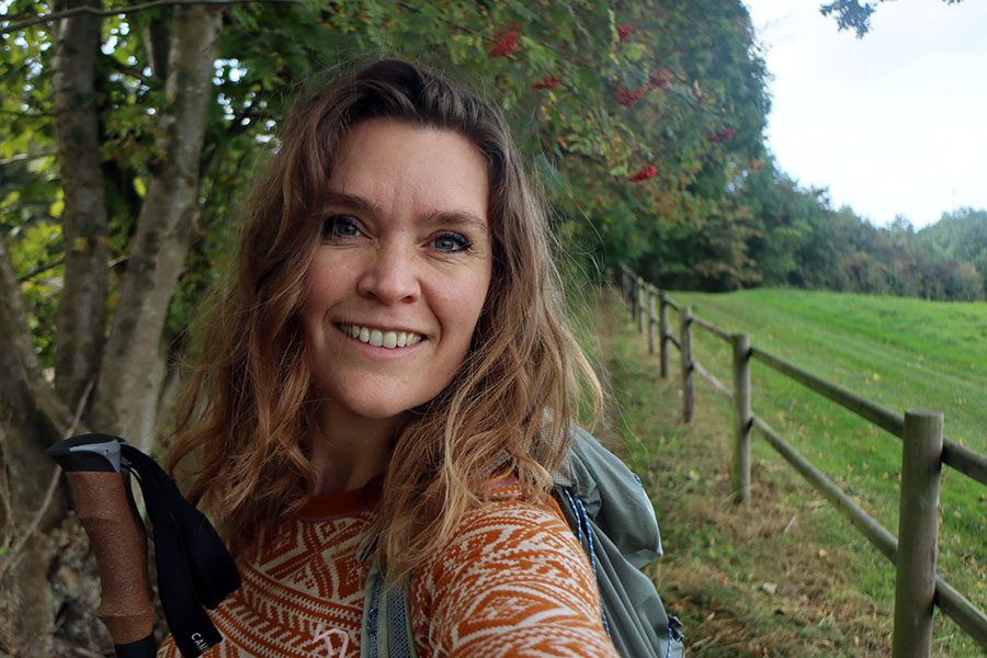
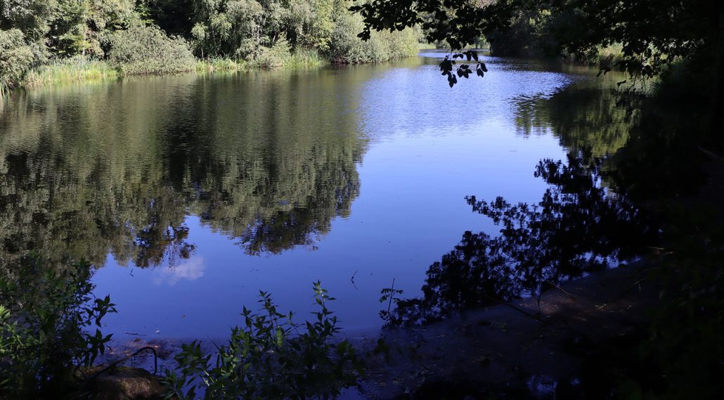
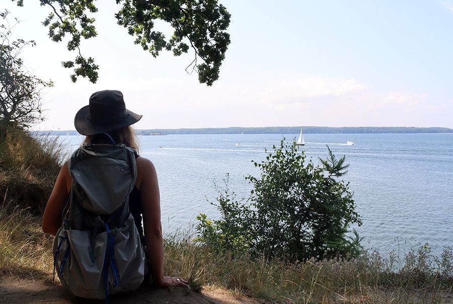
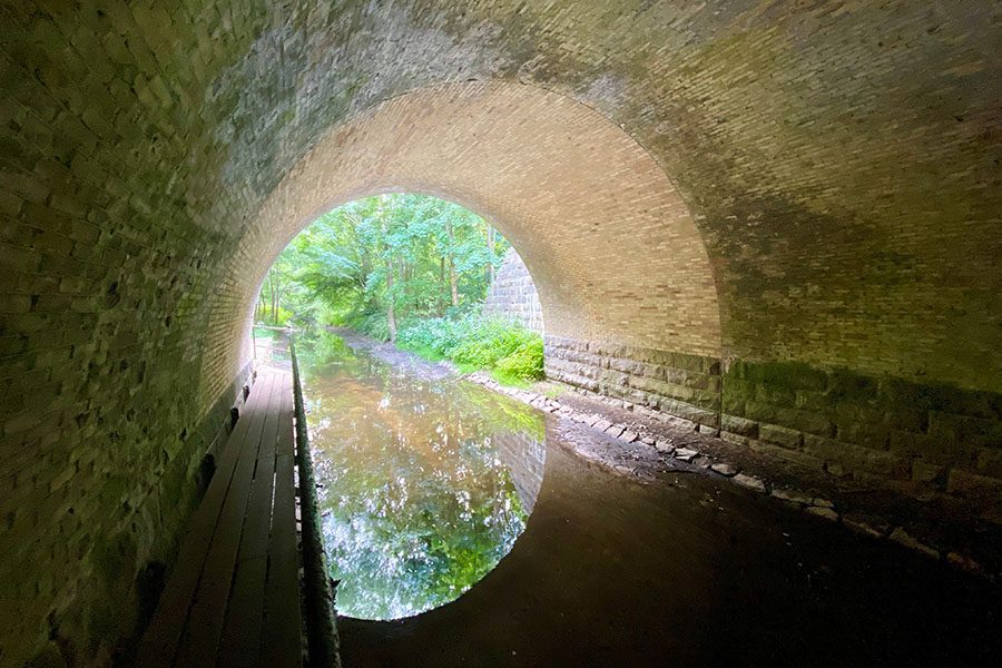
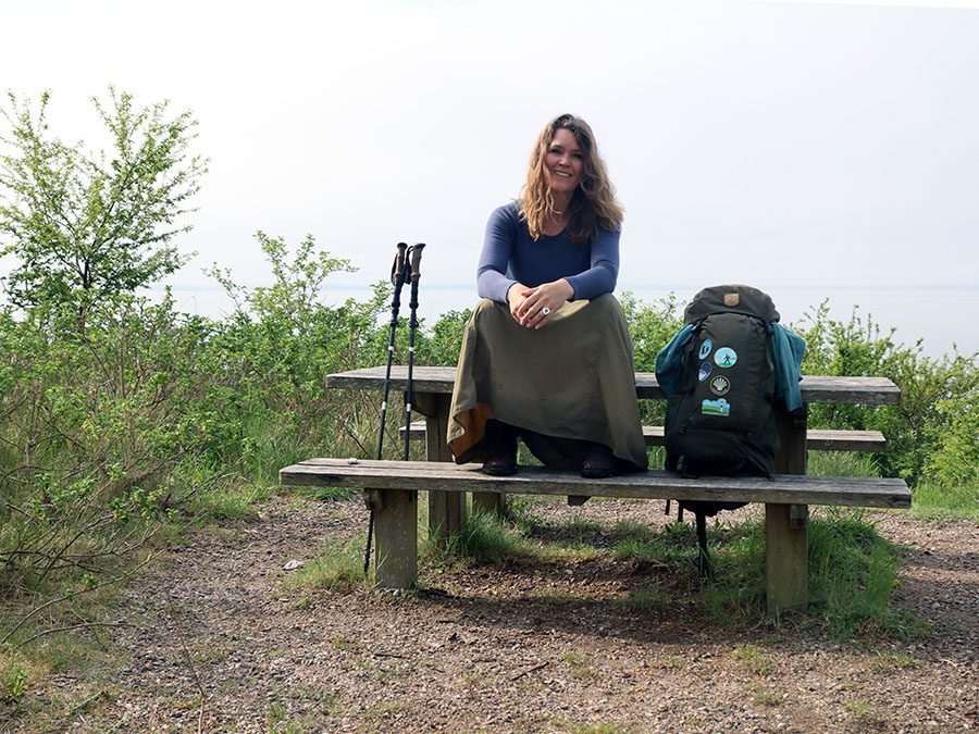
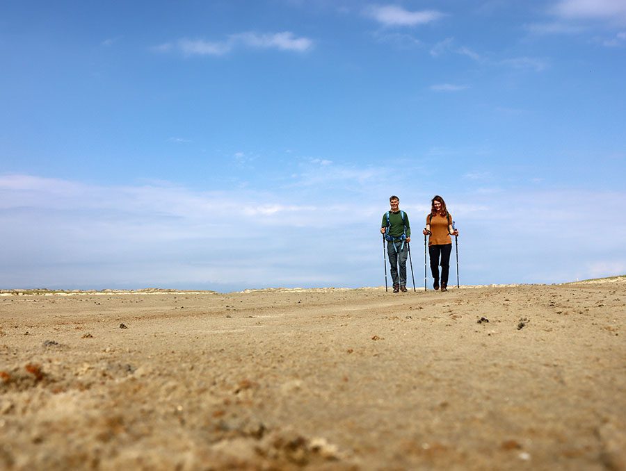
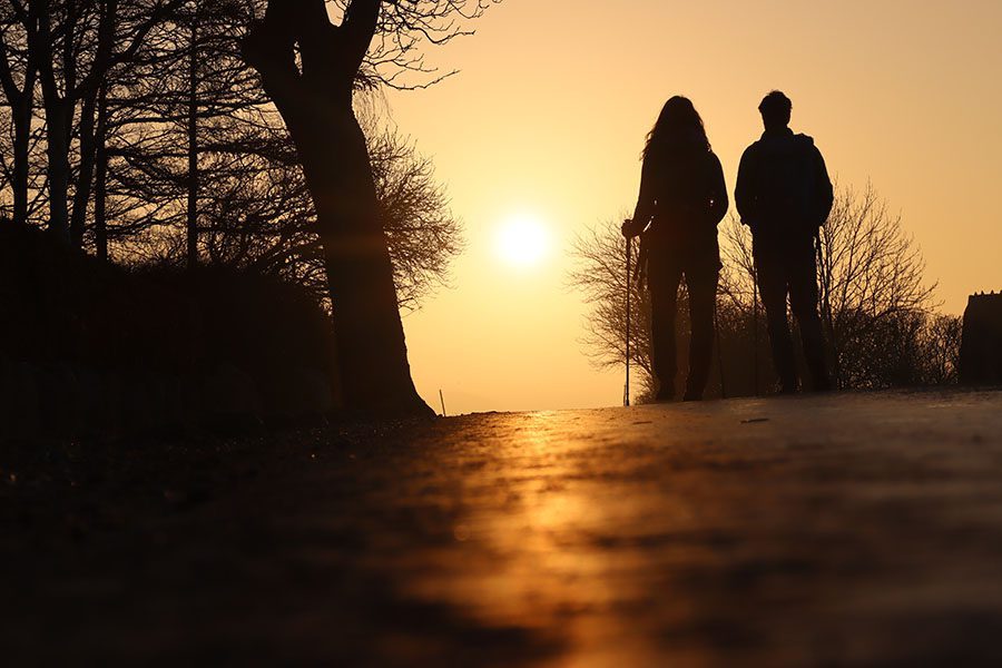
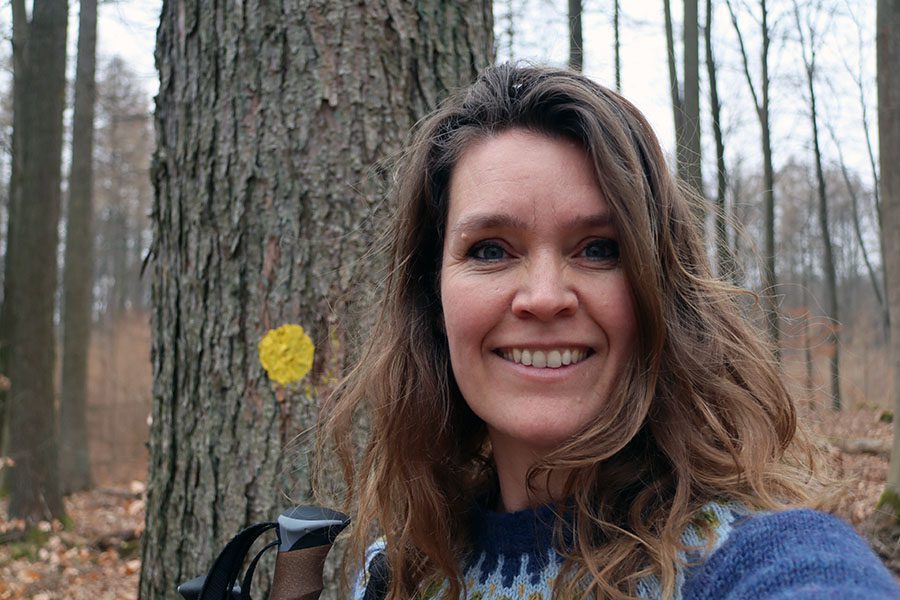
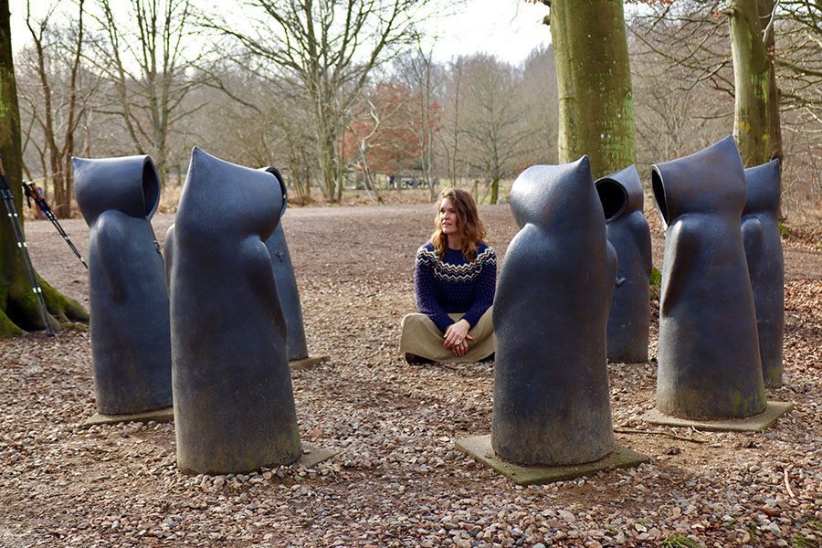
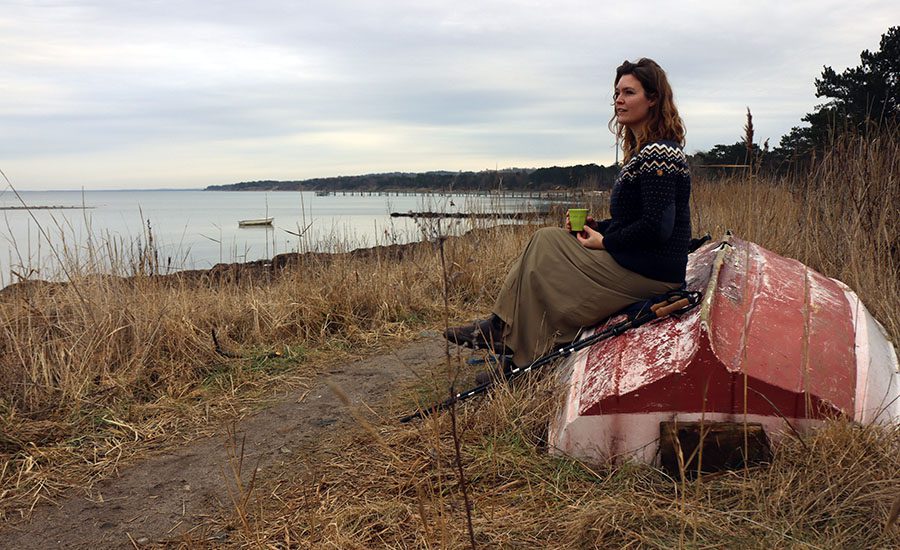
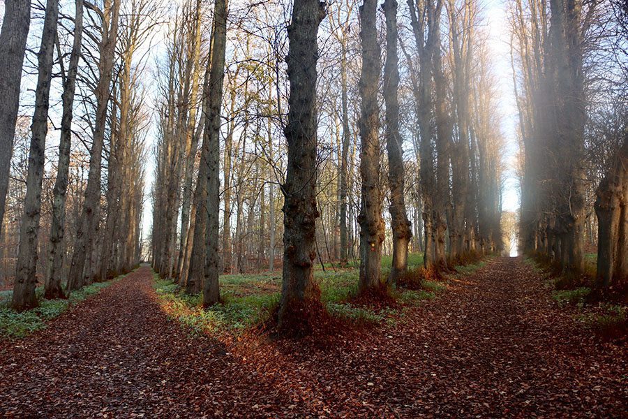
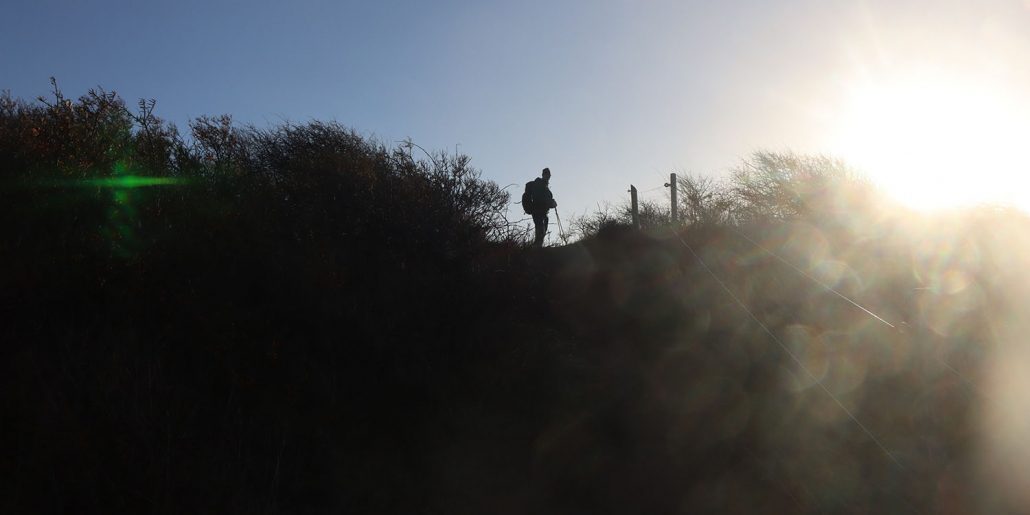
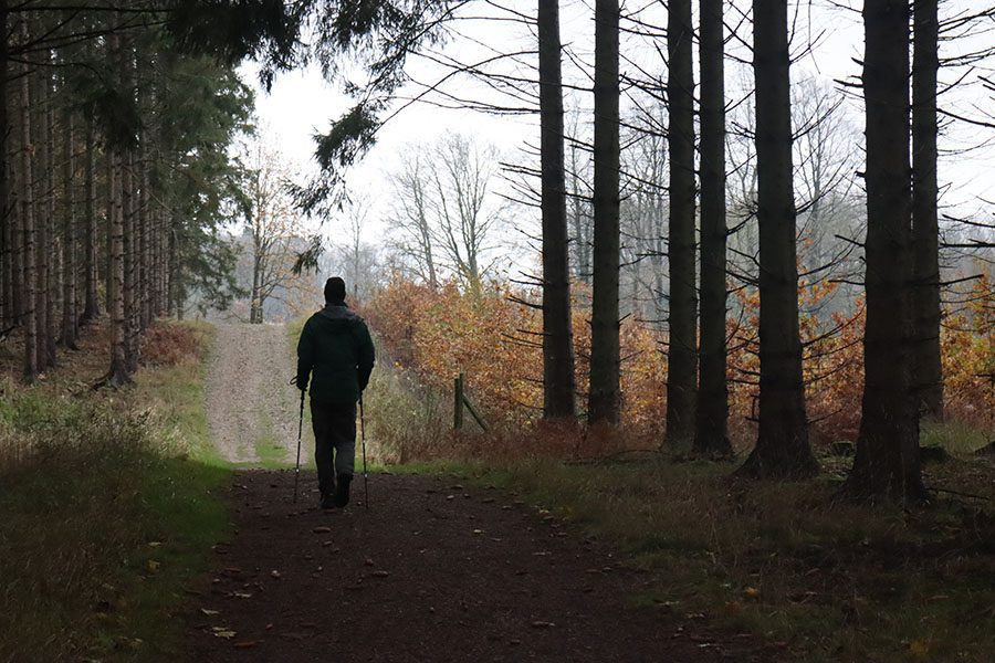
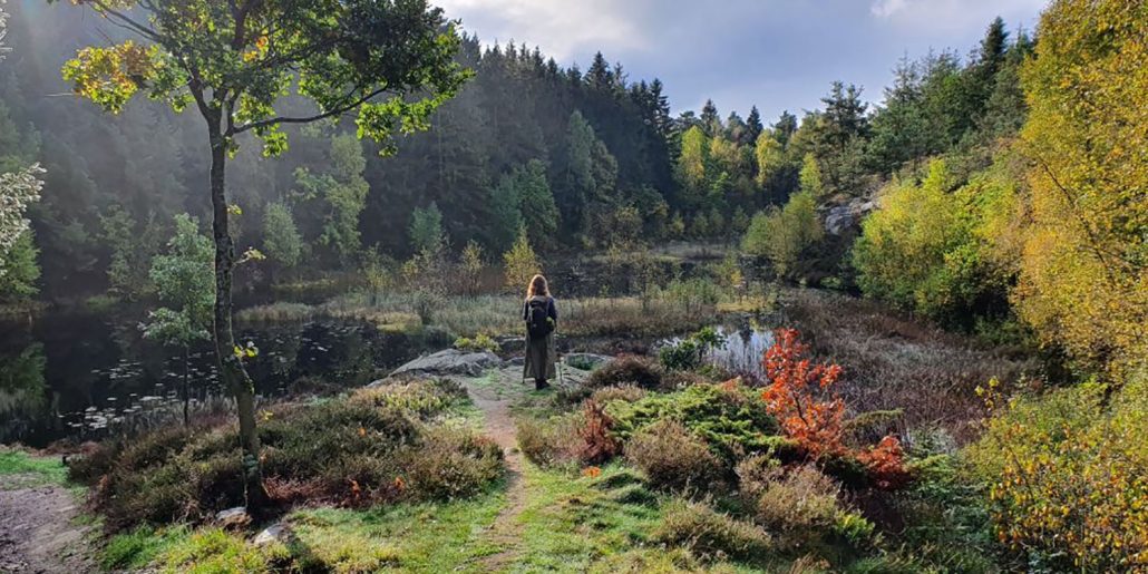
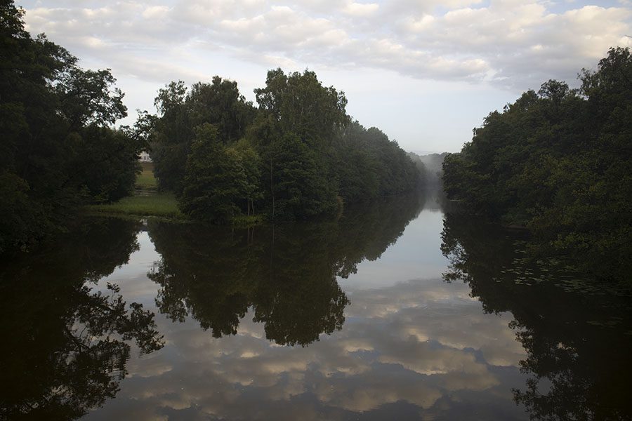
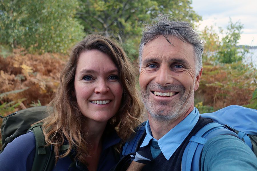
Var det smukt at vandre rundt om Sorøs søer? Øøøøh…. tjoo… faktisk så jeg ikke så meget, for jeg vandrede helt fordybet i dejlig samtale med min veninde tilbage fra studieårene på Journalistik. Vi havde TYVE år at indhente, og Sorøsøerne dannede rammen. Så billederne her er alt, hvad jeg har fra en vidunderlig dag med mere fokus på det ydre end på det indre.
Facts om ruten rundt om Sorøs tre søer
- Distance: 22 km rundtur, hvis du tager alle tre søer
- Hund og barnevogn: Sagtens – det er gode, flade grusstier hele vejen
- Parkering: Gratis på Sorø Station, hvor ruten starter

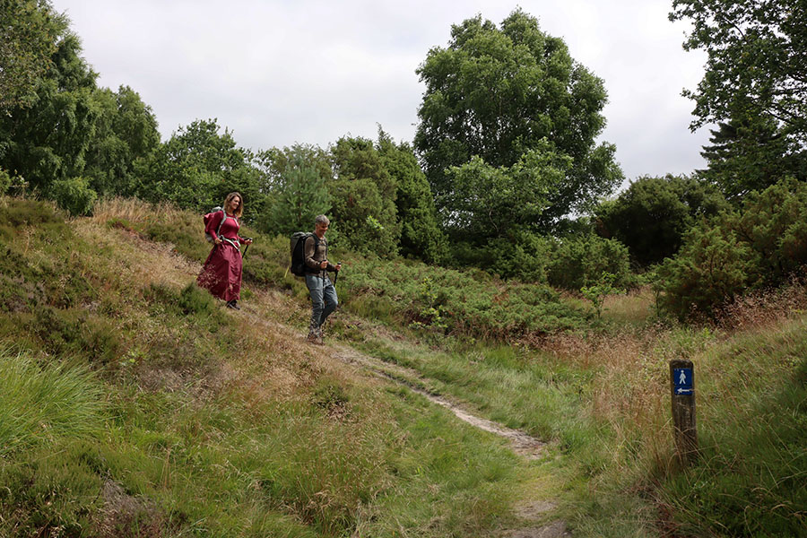
Oplevelser undervejs
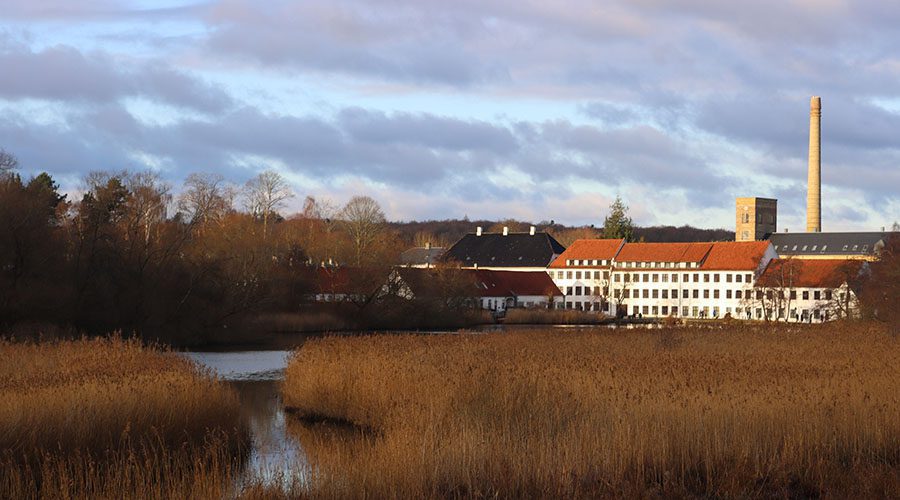
Så meget Sorø Akademi! Torben plejer at drille mig med, at mine forældre burde have sendt mig på kostskole. For jeg har en medfødt svaghed for kostskoler og skoleuniformer, og som teenager drømte mig til Welton Academy i Døde Poeters Klub. Vandreruten rundt om Sorø Sø fører dig lige forbi akademiet, og det er bare at indsnuse stemningen.
Er ruten skiltet rundt om Sorø Søerne?
Der er ingen skiltning, men med et kort på mobilen finder du nemt vej rundt om de tre søer ved Sorø: Sorø Sø, Pedersborg Sø og Tuelsø.

Se kort over Sorøsøerne rundt
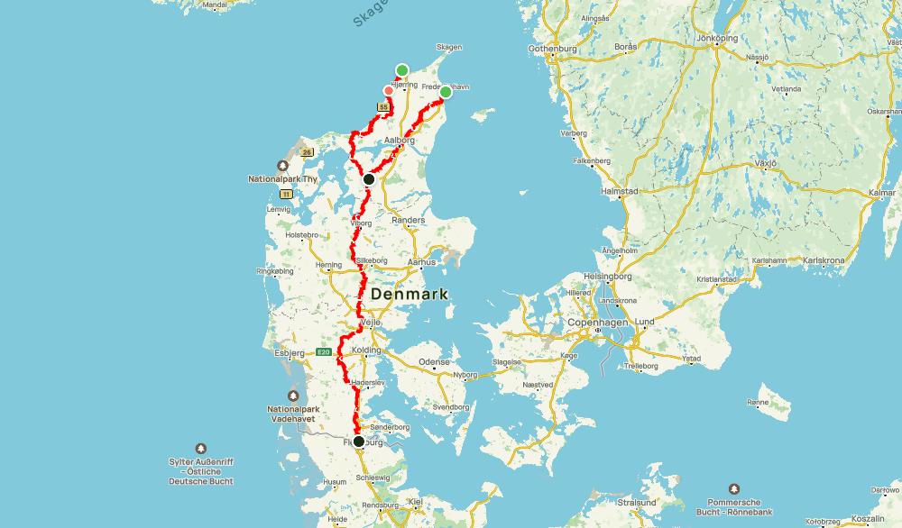
Her kan du se et kort over ruten rundt om Sorøsøerne – Sorø Sø, Pedersborg Sø og Tuelsø. Du kan nemt zoome ind for detaljer. Husk at ruten ikke er skiltet, så det er dejligt at have ruten på din mobil, så du kan se, hvor du selv er.
- Download den gratis app AllTrails her til apple eller her til android og opret din profil
- Klik på linket til kortet over vandreruten rundt om Sorøsøerne her (du er den blå prik på kortet)
Vil du have en kortere rute?
Sorø og Pedersborg Sø rundt er 9 km. Tager du både Sorø Sø og Pedersborg Sø, er der 11,5 km rundt. Vandrer du rundt om Tuelsø, er der 7,8 km.


Kære Marie,
Da I gik denne tur om de 3 søer, faldt I over et godt “spise frokost / drikke kaffe” sted på Jeres vej ?
vi har tænkt at gå turen her i februar.
KH Lone
Hej LOne. Det gjorde vi desværre ikke – den er vandret under komplet nedlukning. Rigtig god tur kh Marie og Torben
Hej. Vil gå de 22 km. rundt om Sorø sø på søndag, men mangler et kort. Kan I hjælpe? Mvh Mia
Hej Mia. Det er også så dejlig en tur. Hvis du scroller ned har vi tegnet kort nederst i artiklen du er inde på. Her er også link til det, hvis det er nemmere: https://www.alltrails.com/explore/map/soro-soerne-rundt-22-km-8ef99bf? Hvis kortet ikke vises, kan det være netforbindelsen der driller. Rigtig god tur rundt kh Marie og Torben
Hej. Jeg har lige gået denne tur i dag med en veninde. Vi kom med toget fra Odense. Jeg vil gerne sige tak for en helt fantastisk tur. Så utroligt smukt med både masser af skov og masser af vand. En virkelig dejlig tur. Glæder mig til at prøve nogle af jeres andre ture.
Hvor er det bare hyggeligt med sådan en hilsen! Ruten må have været helt anderledes end da jeg så den en kold vinterdag. Vi har været på Kullen i dag at vandre. Glæd dig virkelig til den guide! kh Marie